↘ NEXMA · SPATIAL AI OS
Spatial General Intelligence for every decision on Earth.
Nexma is a breakthrough spatial intelligence and autonomous engineering company. We build radical new technologies to advance how AI sees, decides, and acts on the physical world.
↘ APPLICATIONS
AI for the bold enterprise.
AI systems that actually work. Nexma is the spatial operating system where your agents read the world, reason about it, and write back — every action typed, audited, and reversible.
↘ MATH
The math powering the world's best AI.
Agents optimize every plan against real constraints — cut cost to build, accelerate deployment, self-corrected against domain rules — at the bar frontier AI demands.

SPATIAL
AUTONOMY
AI hasn't reached
the physical world.
And Nexma is going to change that.
Software got coding agents. The physical world didn't.
Combining spatial intelligence with autonomous engineering, we bring AI to the parts of the world it has never touched. To see networks design themselves. To see grids reroute around storms in seconds. To see territory defend itself and ecosystems heal themselves.
To advance every industry that depends on the physical world — telecom, energy, defense, conservation, logistics — by replacing human bottlenecks with agentic systems that don't just predict, they act.
So the world can build, defend, and discover at the speed of intelligence.
According to leading
industry analysts;
annual gap in global infrastructure investment.
of spatial engineering work is still done by hand.
average lifecycle of an infrastructure project.
people still lack reliable physical infrastructure.
Industry analysts predict that up to
Two-thirds of the world's spatial workload
will be done by AI agents within the next decade.
Miles of new infrastructure
are needed every single year.
And over 80% of the work
will still be done by hand.
of utility ops are still manual.
of spatial decisions lack live data.
And over one-half of global
infrastructure is underserved.
Spatial General Intelligence,
a functional application of advanced AI agents that read, reason, and act on spatial data — designing networks, monitoring infrastructure, defending territory, and operating at the speed of software.

This is Spatial General Intelligence
and the new dawn of autonomy.
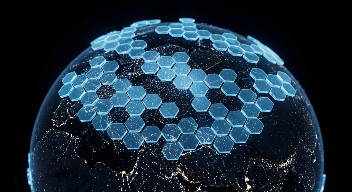
This is unfathomably vast.
Yet, this is Nexma — the spatial AI OS designing, defending, and operating the physical world that everything else depends on.
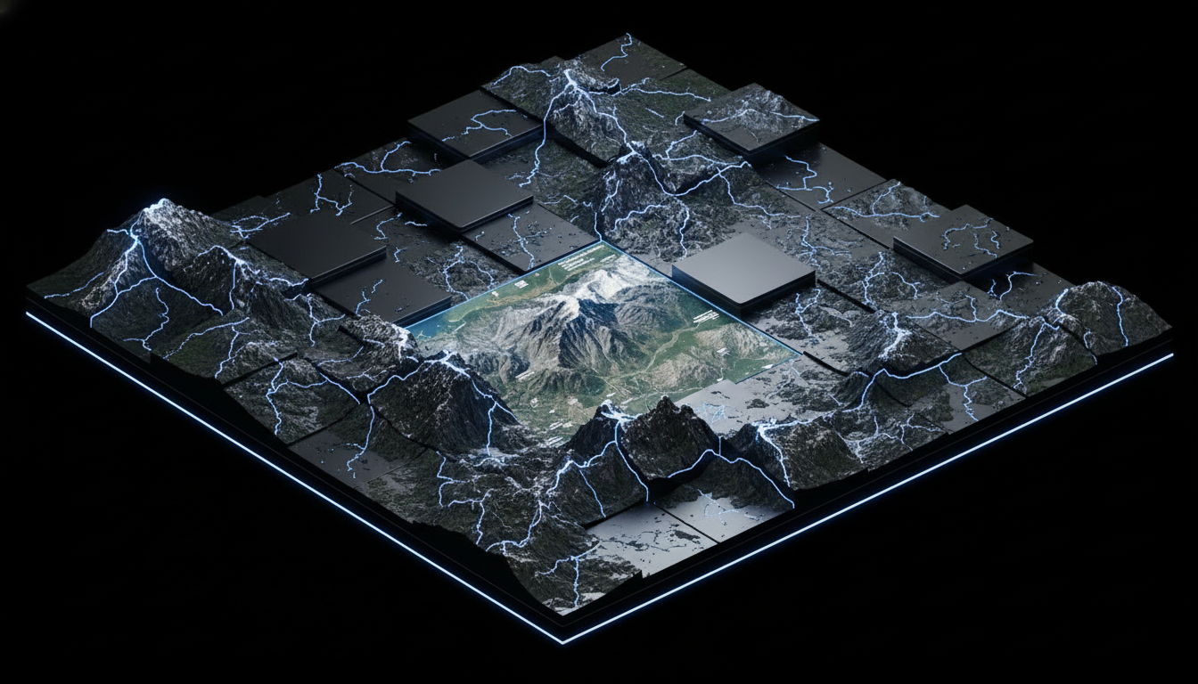
SPATIAL INTELLIGENCE
REDEFINED
The modern utility of spatial intelligence is to put AI behind every act that touches the physical world — every route, every grid, every survey, every decision made on the ground.
A new definition of spatial intelligence — written by Nexma and the agents already running it across telecom, energy, defense, and every other layer the world depends on.
The NewDefinition of Spatial Intelligence
Bringing intelligence to the physical world today.
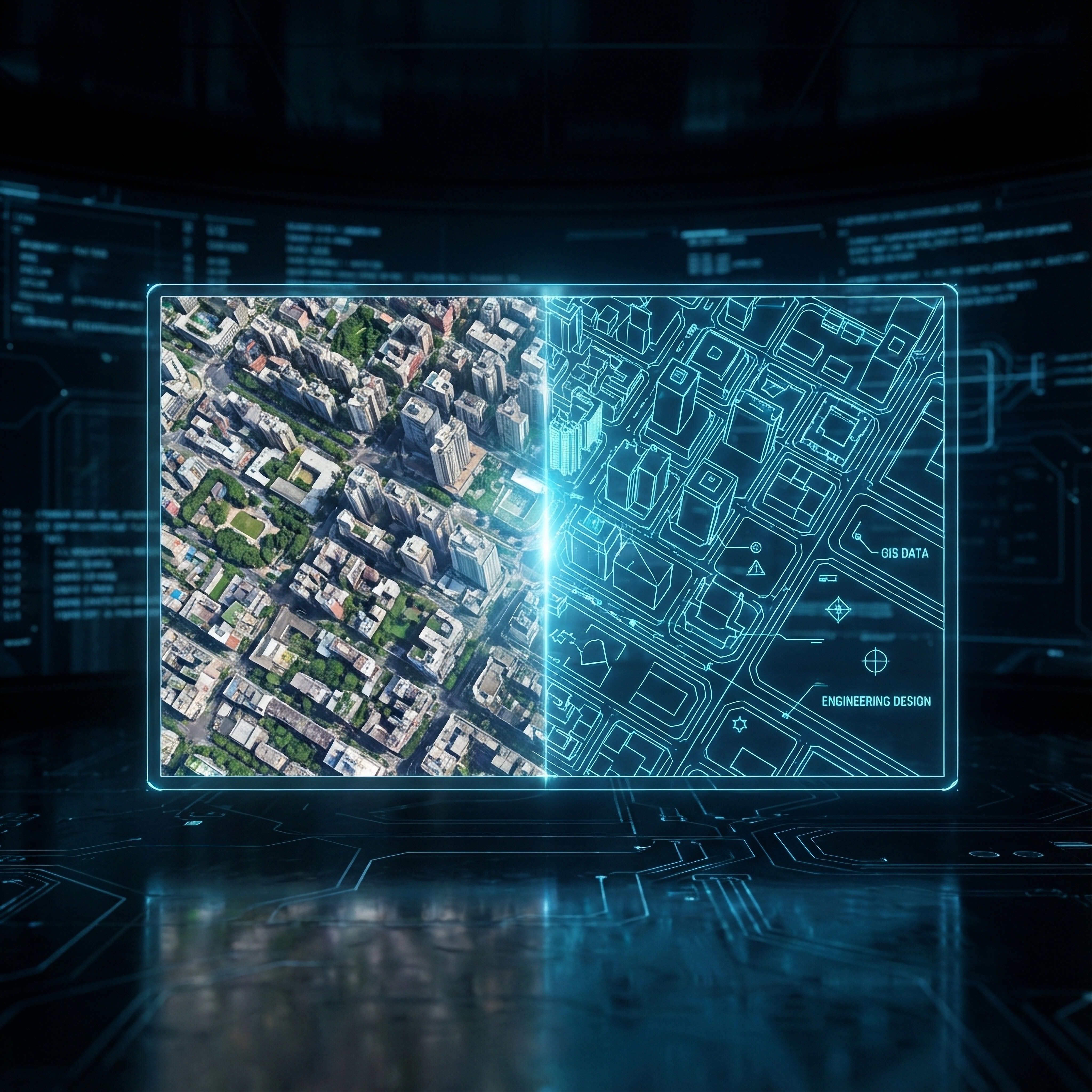
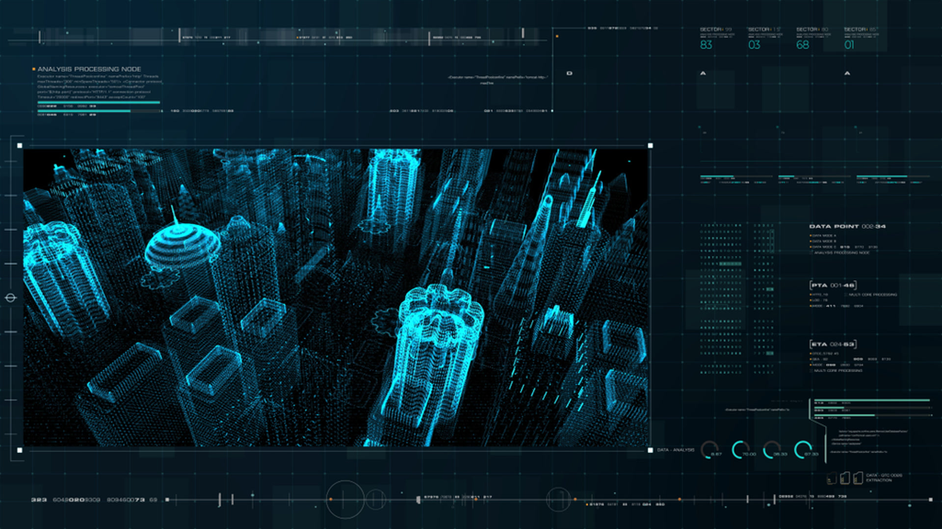
Sensing the World
Reading the physical world through every available signal — satellites, sensors, drones, and networks fused into one live model.
Agentic Reasoning
AI agents that reason about space the way humans do — through geometry, time, and context.
Machine Action
Closing the loop: systems that move, build, and operate at the speed of compute.
Nexma's Definition of Spatial Intelligence
The Engineering of
Autonomous Network Design.
AGENTS AND HUMANS BUILD SUCCESSFUL NETWORKS TOGETHER
In a world where nearly half of all people still lack reliable connectivity, Nexma is the AI doing the work humans can't do fast enough. Our agents have designed hundreds of thousands of miles of fiber for utilities, ISPs, and governments — and we're scaling to every region that still waits for a signal.
Discover the technologythat designs fiber autonomously+
[ SPATIAL AI OS ]
The Spatial AI Operating System
Nexma is a state-of-the-art agentic GIS experience — Jax perceives, reasons about, and acts on the physical world across one governed spatial graph. Design, optimization, and field operations, run end to end by a single agent.
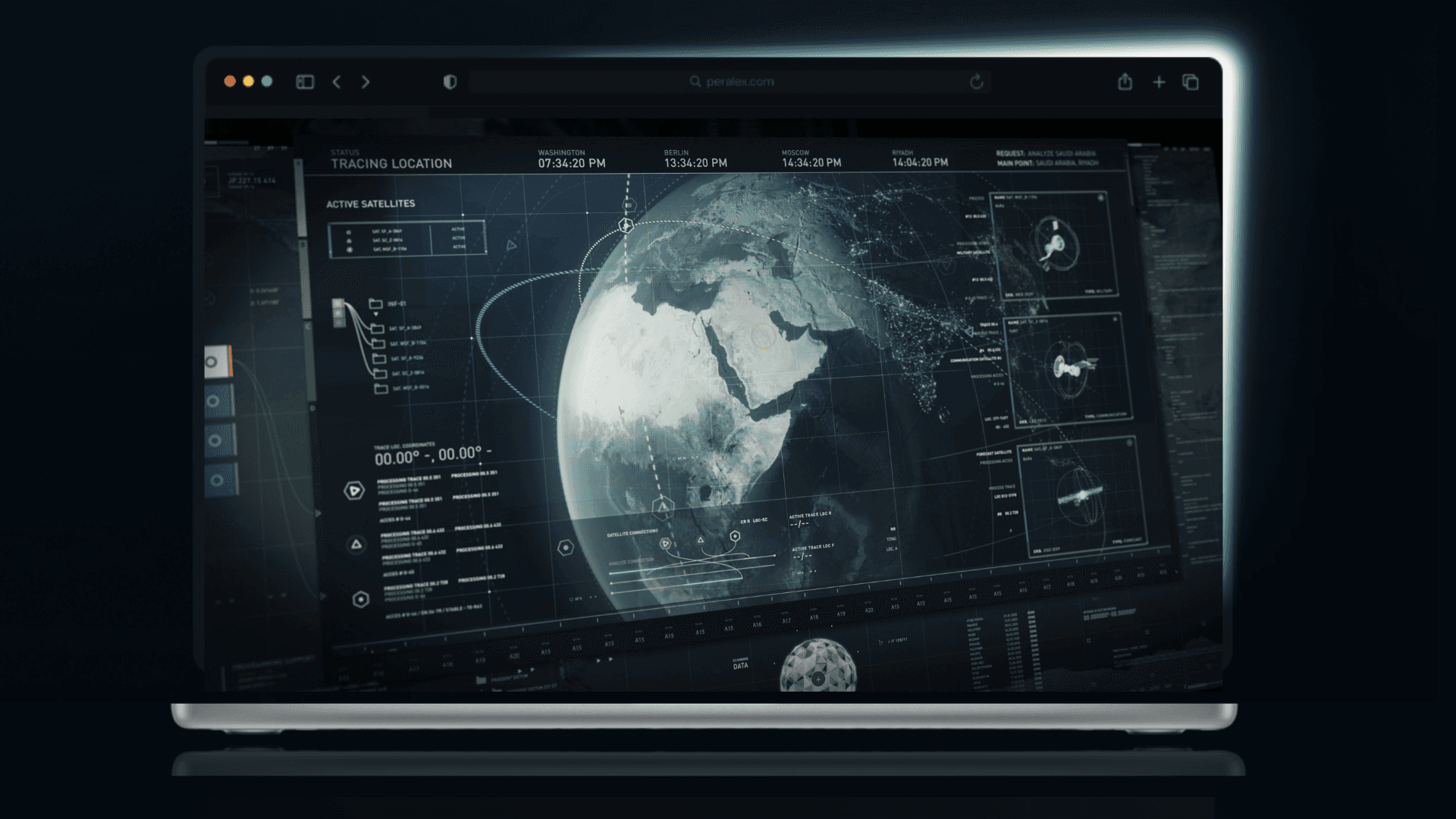
The spatial operating system.
One agent. One governed graph. Every surface.
Jax perceives, reasons about, and acts on the physical world — design, optimization, and field operations, run end to end.
Inside Jax's Agent Computer.
Every decision Jax makes runs on a dedicated optimization engine — MIP, VRP, constraint programming, simulation, and heuristic search dispatched in milliseconds. The Agent Computer is what makes spatial intelligence feel instant.
Nexma is more than just a spatial AI company.
Founded by Ari Aviv.
Nexma is led by founder and CEO Ari Aviv, and anchored by a network of operators, researchers, and engineers building the operating system the physical world has been waiting for.

Meet the Nexma advisory board, with senior advisor Marc Halbfinger, former CEO of PCCW Global. A team building the future of spatial intelligence and autonomous engineering across telecom, energy, defense, and conservation.
Learn more about ourCompany & Team+

Research & News
Publications, announcements, and case studies from the Nexma team.

Building Spatial General Intelligence for the world today.
At Nexma, spatial general intelligence is more than bringing AI to the world's surface. It is rebuilding how the world gets read, reasoned about, and acted on. Instead, we are going further.
Instead, we are going further.
We are developing core technologies for the agents, models, and infrastructure that read the physical world.
We are elevating expectations for AI by building systems that operate at the speed of compute across every spatial domain.
We are repositioning every industry that depends on the ground beneath it to thrive in a world programmed by software.
For a Better World
For every network
It is time the world adopted a collective approach to designing the physical layer it depends on — software-fast, AI-driven, and built for everyone on the map.
Learn more

Better World
Power the world's most critical spatial decisions with autonomous, AI-driven intelligence.
We are evolving for the sake of tomorrow.
Human enterprise has built remarkable things. But the pace at which we can plan, build, monitor, and adapt the physical world hasn't kept up — and the cost of that gap is paid by the people and places that need infrastructure most.
Nexma is the AI that closes the gap. Spatial agents that design the networks, read the landscapes, and rebuild the systems the world depends on — at the speed of intelligence. So we can evolve as fast as the future we're heading into.
a better world+


Spatial Intelligence
For Every Decision
Mission Partners
Designing, defending, and operating the physical world is an undertaking we can't achieve alone.
Each one of our partners is vital — utilities, telecoms, defense agencies, conservation groups, satellite operators. As Nexma's AI agents reach new domains, our partners are how the work gets into the ground.